TranSystems plans, designs, and oversees construction to enhance the transportation networks and infrastructure that make communities more livable today and in the future. About TranSystems
GROW WITH US
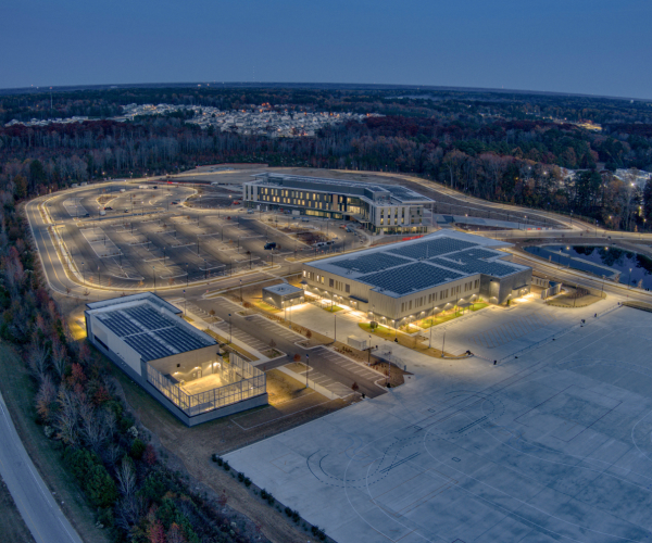
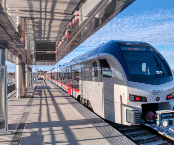
Discover CareersFeatured Projects


Growing Together
Exceptional solutions come from an engaged team of passionate problem-solvers. We propel our growing firm and positively impact our communities with an environment where diversity is celebrated and every voice matters.
PROFESSIONAL DEVELOPMENT
We invest in the growth of our people through onsite development programs and mentoring programs.
BENEFITS
TranSystems cares about our employees and we’ve developed a benefits package that reflects that.
COMMUNITY INVOLVEMENT
The spirit of service can be felt in all our offices as employees volunteer in a variety of ways and with many organizations.


Transystems 2023 ENR Ranking
#65 Top 500 Design Firm