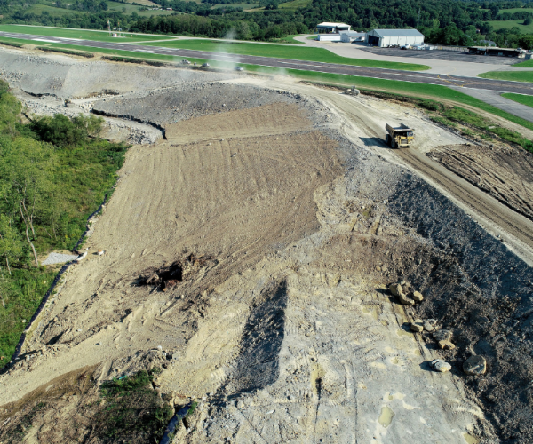
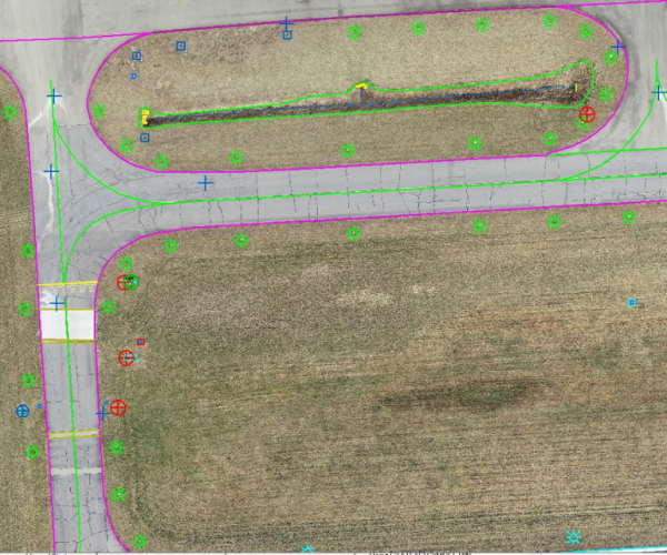
The objective of the Washington County Airport project was to provide aerial imagery, photogrammetric mapping, and ground surveys to support the development of an Airport Layout Plan, FAA AGIS Mapping, and penetrating obstruction database. TranSystems provided photo control and AGIS-related ground surveys that supported the completion of a detailed planimetric and topographic base for the airport. TranSystems photogrammetric technicians used the 4cm GSD aerial imagery to capture the planimetric features for 1″ = 40′ scale planimetric mapping with one-foot contour intervals, and 15cm GSD imagery for the collection of obstruction-related features in the vertically guided surfaces, DEM generation, rectified mosaics and landmark feature data collection.

FAA AGIS Mapping – Washington County Airport
TranSystems has extensive experience in delivering FAA Airport Geospatial Information Systems (AGIS) compliant data for dozens of airports. We coordinate with airports ranging in size from municipal to International Airports to supply Survey, Photogrammetry, 3-D Stereo Data Collection and UAS captured information.
Project Gallery